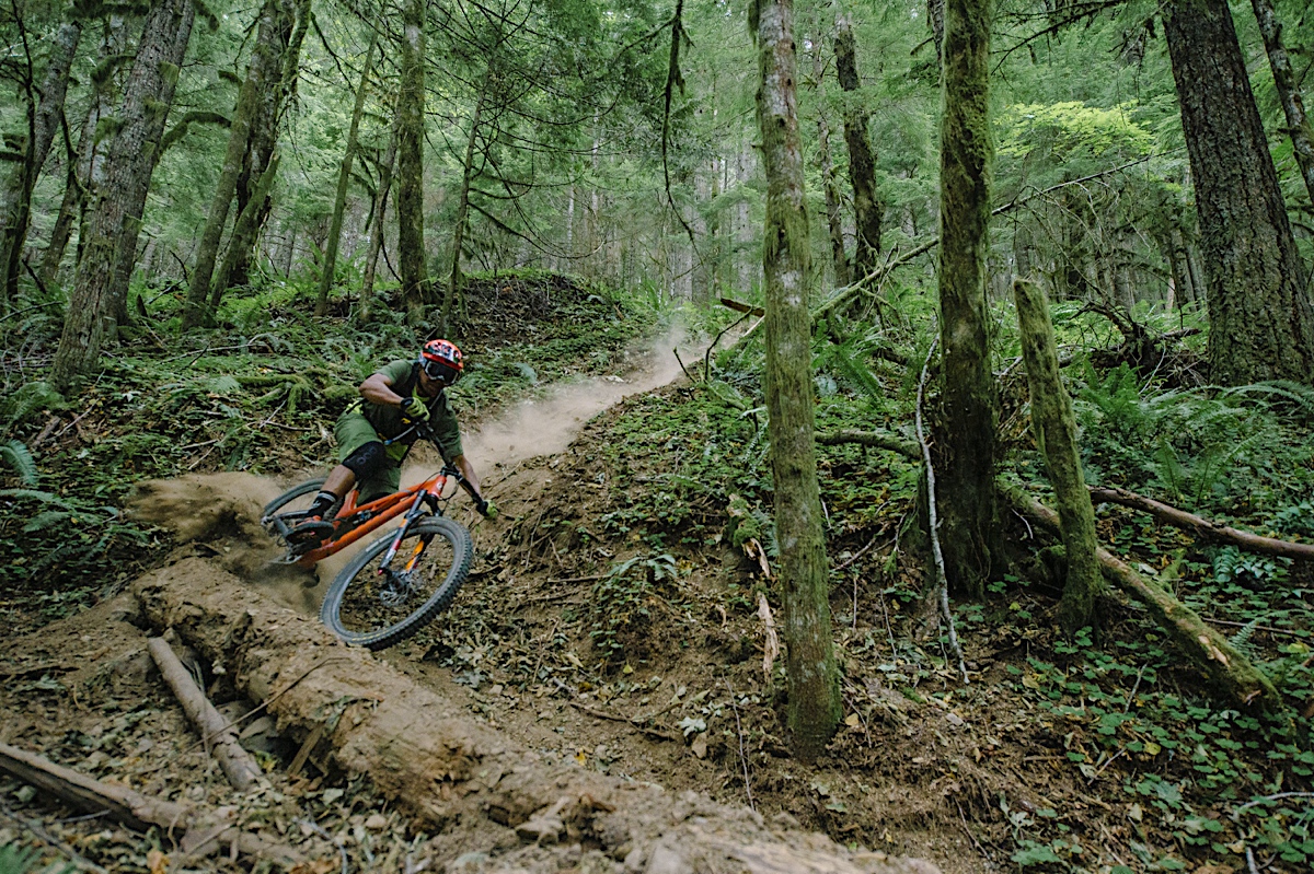
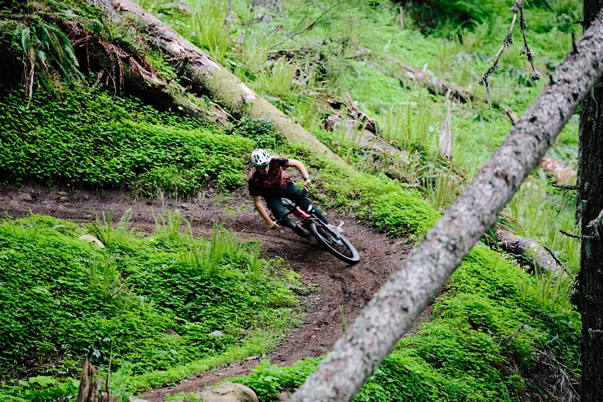


Home to Oakridge’s legendary singletrack, think long descents, old-growth forests, and loamy perfection.

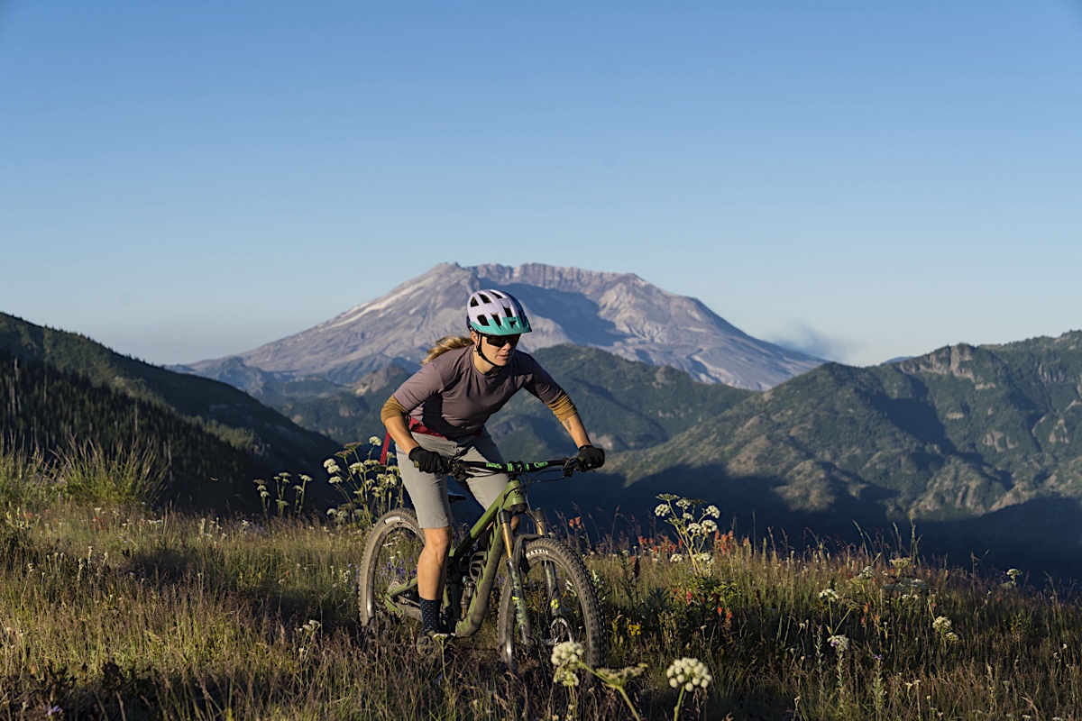
High alpine terrain, wildflowers (or larches), and rugged descents. Here, the trails feel truly off the grid.
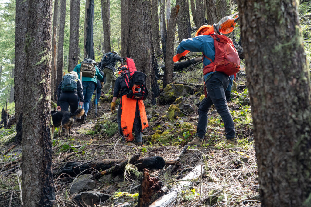
Raw, remote, and rowdy with steep ridgelines, big volcano views, and some of the best backcountry riding in the Cascades.

Home to Oakridge’s legendary singletrack, think long descents, old-growth forests, and loamy perfection.

High alpine terrain, wildflowers (or larches!), and pue rugged adventure biking. Here, the trails feel truly off the grid.
Raw, remote, and rowdy with steep ridgelines, big volcano views, and some of the best backcountry riding in the Cascades.

Lawler + Hardesty Package
A classic pairing for riders who want big views and rowdy descents. Expect fast, flowing singletrack...

Larison Rock Shuttle
A compact yet punchy descent, Larison Rock is the go-to trail for a short shuttle that delivers a surprising...

Old Cascades Crest & McKenzie River Trail Complex
Two days. One corner of Oregon that’ll ruin you for boring trails forever.
This weekend pulls...

McKenzie River Trail Complex
A full-day epic sampling the lush forests, ridgelines, and massive descents of the McKenzie River zone....

Oakridge Day Pass
Choose 4 trails and plan your day, your way. The Oakridge Day Pass lets you handpick four legendary trails...

Heckletooth + Dead Mtn Package
A solid duo for riders who want a mix of technical challenge and high-speed descents without going f...

Alpine Shuttle
The Alpine Trail is a flagship ride in the Oakridge area, offering an extended descent through a mix...

Hardesty Shuttle
Hardesty offers a steep, sustained descent that’s both thrilling and physically demanding. With tight...

Heckletooth Shuttle
Heckletooth is a true backcountry-style ride with steep pitches, tight switchbacks, and a raw, untamed...

Lawler Shuttle
Lawler is known for its fast-paced character, sharp transitions, and technical segments that demand rider...

Dead Mtn + Larison Package
Perfect for a half-day or lighter ride. A quick shuttle gets you access to two of Oakridge’s most popular...

Heckletooth + Dead Mtn + Larison Package
For riders who want it all—chunk, flow, and epic views. Heckletooth starts the day off rugged, with Dead...

Dead Mountain Shuttle
Dead Mountain delivers a playful, fast-flowing descent with high berms, rollers, and smooth corners....